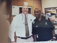
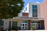
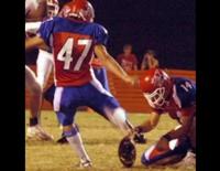
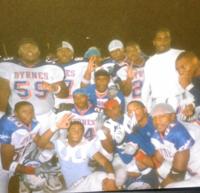
21 days until HS football: Don Frost helps Riverside football believe again Sports 21 days until HS football: Don Frost helps Riverside football believe again
Lowes Foods to open its new Lyman location on Aug. 20 News Lowes Foods to open its new Lyman location on Aug. 20
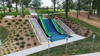
Kids Planet improvements now complete at Century Park News Kids Planet improvements now complete at Century Park
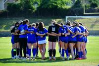
+28 Photo Galleries Photos: Eastside girls soccer captures 5-A D2 Upper State Championship with win vs. Greenville
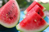
Health & Wellness Advertorial Beyond the protein push: You may be missing two important nutrients from your diet Brandpoint (BPT)Updated 13 hrs ago
Espanol Advertorial Más allá del impulso de proteína: Puede que te falten dos nutrientes importantes de tu dieta Brandpoint (BPT)Updated 13 hrs ago